Who explored Karabalgasun?
The exploration of Karabalgasun, the ancient Uyghur capital, began in the early years of the 19th century and has steadily gained in importance since then. Archaeologists have worked intensively on deciphering the city, especially in the last 20 years, and have gained numerous new insights into the architecture and function of the city.
Initial Research at the Beginning of the 19th Century
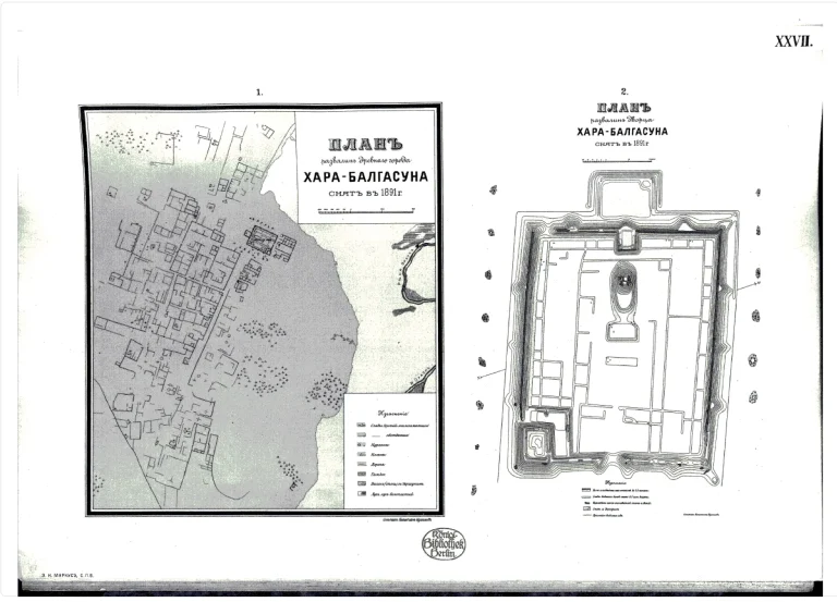
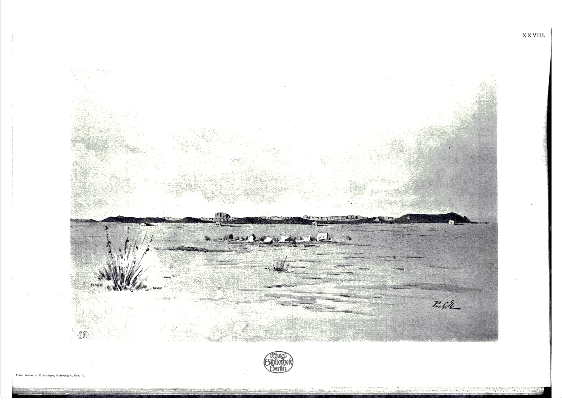
As early as the beginning of the 19th century, the first modern-day researchers began to investigate the Karabalgasun site, even though at that time it was not yet clear whether this city ruin was Karabalgasun or Karakorum. Research expeditions to China and Mongolia, and thus also to the Mongolian Orkhon Valley, began in the second half of the 19th century and were generally of a universal scientific nature. In 1873, for example, the Russian Paderin described for the first time the highly walled area of the city complex of Karabalgasun, which is still visible today. The first expedition with a clearly archaeological focus was undertaken by a group of researchers led by N. M. Jadrincev in the Orkhon Valley in 1889. As with the journey of the Finnish ethnologist Axel Heikel, the focus was on examining the surviving inscription stones of the trilingual inscription, which recounts important events in Chinese, Sogdian and Turkish runic script.
The Mongolian-German Orkhon Expedition
Based on these preliminary investigations, the archaeological work has been continued since 2007 in a long-term project by the Mongolian Academy of Sciences, the National University of Ulaanbaatar and the German Archaeological Institute as the Mongolian-German Orkhon Expedition (MONDOrEX). The aim of the project is to answer further questions about the structure and organization of the two nomadic city complexes Karabalgasun and Karakorum, as well as to gain insights into their supply, the building techniques used and their integration into the geographical environment of the Orkhon valley. As there have been hardly any archaeological studies on the early Uyghur period to date, there are only a few comparable research projects. An airborne laser scan plan created in 2007, which was supplemented in 2018/2019, still forms the basis of the Mongolian-German Orkhon Expedition’s research today. While the plan drawn up by Wilhelm Radloff already covered large parts of the city complex, the laser scan plan shows the size, layout and structure of the city on a completely new scale.
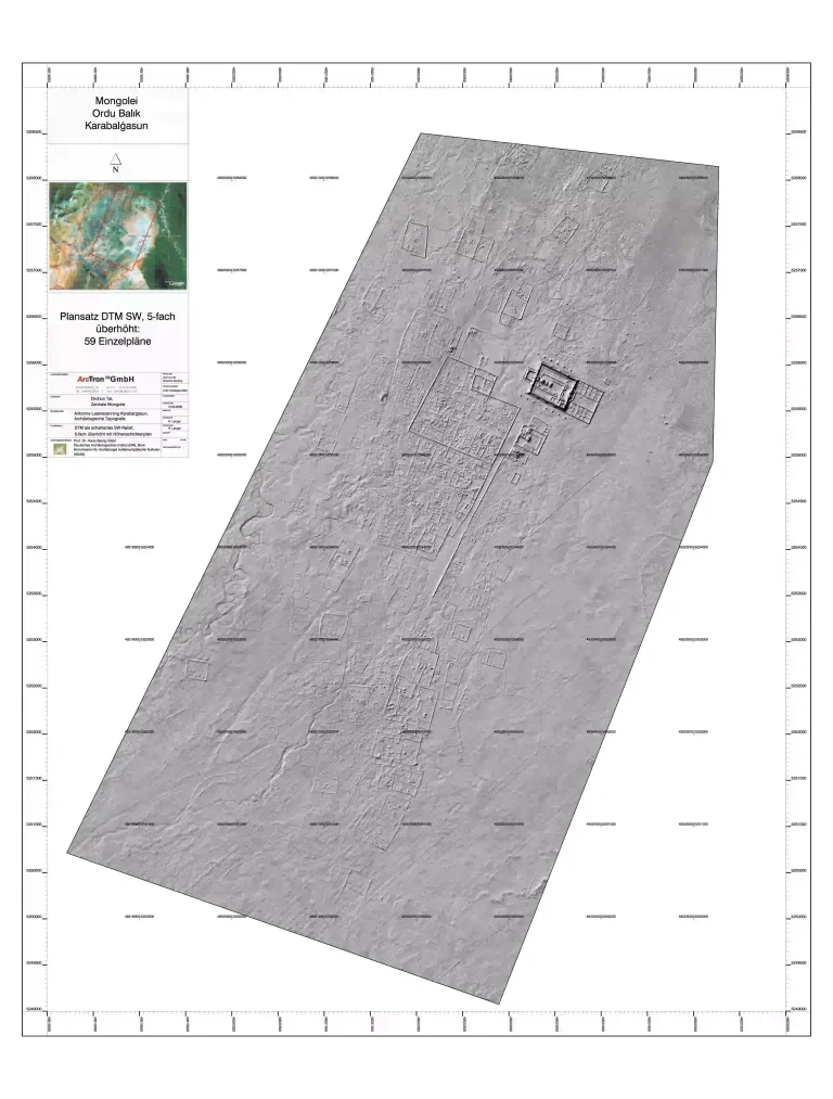
The City Map Expanded in 2018/19

